We headed out to Hafnarfjörður to do some hiking today. Our destination was Helgafell mountain. “With an accessible and easy trail, walking on Helgafell is popular for all levels of hikers, including young children.”
The parking area is located here (Google Maps link); it’s about a half hour drive from the harbor area of downtown Reykjavik; it could be much less if you are already outside of town. You’re in the right place if you see this sign at the end of the parking area:

(Note that there is another Helgafell in West Iceland; that one is called Helgafell Holy Mountain, but it is over 2 hours from Reykjavik.)
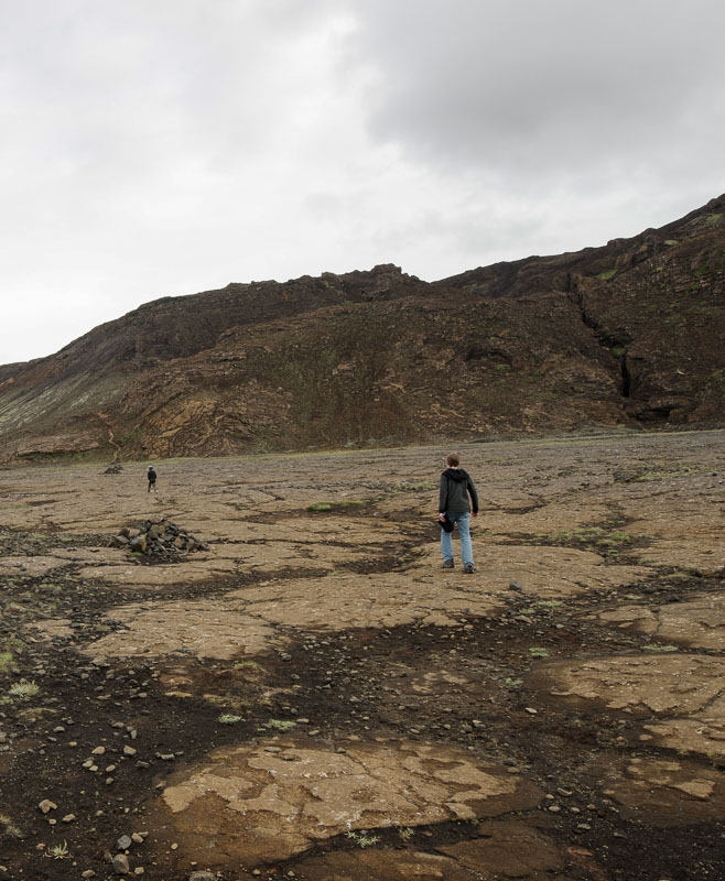
The hike has several sections; there’s a lot of walking before you get to the mountain part. First, you’re walking along a path to get to a small lane in the fence; you can see the fence on the far left here:

The gap in the fence is wide enough for people and bicycles, but I assume it would prevent people from using ATVs. Past the fence is another flat area that leads toward the trail up the mountain.
Those are cairns— stacks of stones that mark a path.

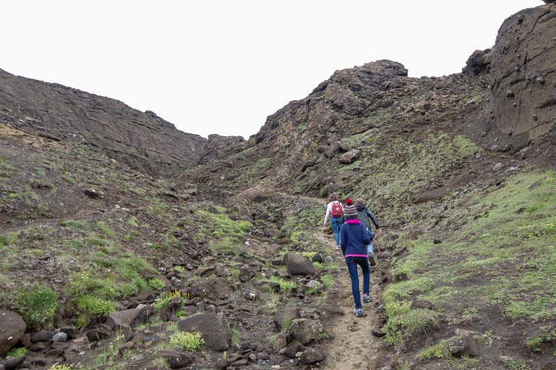
Now you’ll finally start climbing the mountain! There are some very steep and slippery sections; good hiking boots help.
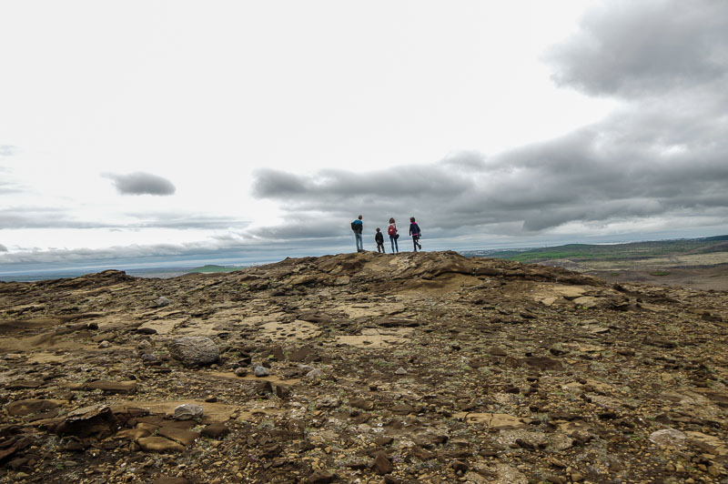
After maybe 15 minutes, you’ll come to the first landing area. You can stop here, or keep heading higher. The views from here are still impressive.

(In the very center of the picture above, you can kind of make out the parking area where we started! It’s just to the left and slightly above the small swamp / lake area.)
But you can also continue up the mountain. Again, not surprisingly, this is steep!
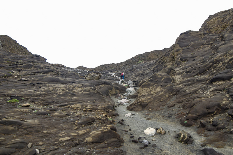
At some point, the path more or less disappears, and we just headed one direction: Up. We made it to a landing which wasn’t quite the top of the mountain, but it was enough!

You can see Reykjavik off in the distance. After enjoying the view and resting for a little while, we started to head back down. And that’s when we had our only non-trivial issue of the day– we weren’t sure where the path was! Heading up, we just walked up. But now, there was no clear path.

We eventually found our way; we also could have asked someone, as this area is frequented by locals. Maybe that’s the issue– people come here a couple of times a week to exercise and enjoy the views. There seemed to be dozens of paths, if only we knew where they started and ended.
But it was an enjoyable hike, whether you only make it to the base of the mountain, or to the very top. Just remember how to get back down!
There are other hikes not too far from Reykjavik, including Mount Esja and the hike to the hot river Reykjadalur; we hope to check those out soon!
[Update: See our post about Mount Esja here.]
Thanks for looking at our live updates. For help with planning your Iceland vacation, check out our main page: www.icelandwithkids.com. Or see other live updates here. Thanks for reading!
Leave a Reply